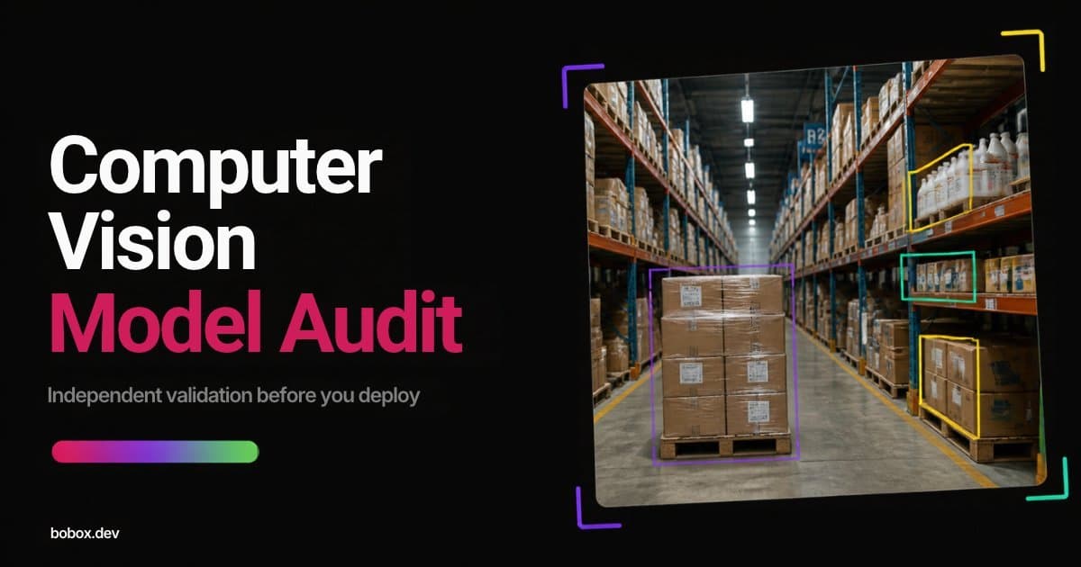
Computer vision has transformed industries by enabling real-time, automated multi-source geospatial image processing. When applied to satellite and UAV-captured imagery, these technologies unlock actionable insights for environmental monitoring, urban planning, agriculture, and mining operations.
Advanced Data Acquisition for Geospatial Intelligence
Extracting meaningful information from geospatial imagery requires specific data collection approaches:
- High-resolution imaging — necessary for capturing fine-grained detail
- Stereo imagery — enabling accurate 3D terrain modeling
- Multispectral sensors — using near-infrared and multi-band light for robust analysis across varying environmental conditions
AI/ML-Powered Computer Vision Applications
Machine learning algorithms enable a range of geospatial analysis tasks:
- Object Detection & Segmentation — identifying buildings, roads, vegetation, water bodies
- Change Detection — monitoring urban expansion, deforestation, and land use shifts over time
- Object Tracking & Motion Analysis — tracking vehicle movement, wildlife migration, and seasonal changes
- Land Classification & Mapping — supporting agriculture, forestry planning, and mineral exploration
Real-World Applications
Key use cases where geospatial computer vision delivers business value:
Fleet & Asset Tracking — monitoring vehicle fleets, construction equipment, and infrastructure assets from aerial platforms.
Environmental Monitoring & Disaster Management — detecting wildfires, flood zones, oil spills, and other environmental events in near real-time.
Agriculture & Forestry Assessment — analyzing crop health, estimating yields, and monitoring deforestation at scale.
Urban Planning & Infrastructure Development — supporting city planners with accurate land-use maps and building footprint extraction.
Climate Change & Ecological Analysis — tracking glacier retreat, sea-level changes, and ecosystem shifts across decades of satellite imagery.
Natural Resource Exploration — identifying mineral deposits, groundwater sources, and geological features from remote sensing data.
Wildlife Conservation — monitoring animal populations, migration patterns, and habitat changes.
Annotation for Geospatial Models
Training effective geospatial computer vision models requires high-quality annotated data. Unlike standard photography, aerial and satellite imagery presents unique annotation challenges: varying resolution, different viewing angles, and the need for domain expertise to distinguish features correctly.
Annotation types commonly used in geospatial projects include:
- Polygon segmentation for building footprints and land parcels
- Semantic segmentation for land classification
- Bounding boxes for vehicle and object detection
- Change detection masks for temporal analysis
BoBox's annotation teams have experience working with orthoimagery, multispectral, and SAR data at scales from urban neighborhoods to national territories. Contact us to learn how we can support your geospatial computer vision initiative.