Geospatial & Remote Sensing
Geospatial labels from neighbourhood to national scale.
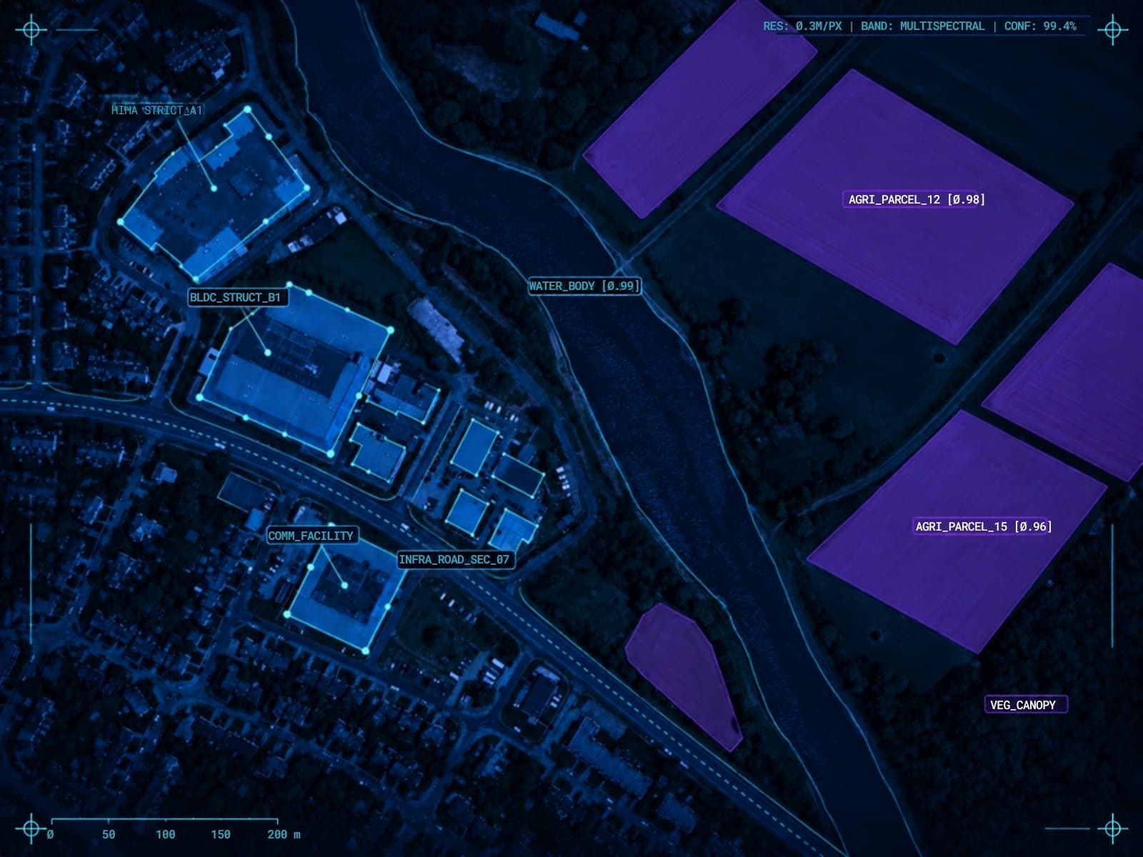
Aerial and satellite imagery is not ordinary photography: resolution, viewing angle and spectral bands all change what an object looks like. Our teams annotate orthoimagery, multispectral and SAR data at scales from urban neighbourhoods to national territories.
The hard part
Why geospatial data is hard to label.
Where generic annotation vendors usually lose accuracy — and where a senior team makes the difference.
- Varying ground resolution and off-nadir viewing angles between captures.
- Telling features apart that look alike from above — roofs, roads, water, shadows.
- Consistent polygons for building footprints and land parcels over very large areas.
- Temporal alignment for change detection between image dates.
Use cases
What we annotate for geospatial.
Building footprints
Polygon segmentation of buildings and parcels for urban planning and infrastructure.
Land classification
Semantic segmentation of land use and cover for agriculture, forestry and planning.
Change detection
Masks for urban expansion, deforestation and land-use shifts over time.
Asset & fleet tracking
Detection of vehicles, equipment and infrastructure assets from aerial platforms.
Disaster & environment
Labels for wildfires, flood zones, oil spills and other environmental events.
Natural resources
Annotation supporting mineral exploration, groundwater and geological mapping.
Annotation types
- Polygon segmentation
- Semantic segmentation for land cover
- Bounding boxes for vehicles and assets
- Change-detection masks
Experience
Annotation of orthoimagery, multispectral and SAR data at scales from urban neighbourhoods to national territories.
Read the full storyFAQ
Geospatial questions, answered.
Which geospatial data types do you annotate?
Orthoimagery, high-resolution satellite and UAV imagery, multispectral data and SAR. We work with GeoTIFF and keep labels georeferenced where your pipeline needs it.
Can you handle country-scale projects?
Yes. We have annotated areas from urban neighbourhoods up to national territories, with a shared taxonomy and QA so labels stay consistent across tiles.
Do you support change detection?
Yes. We label paired images from different dates and produce change masks for urban growth, deforestation or damage assessment.
Further reading
From the BoBox blog.
Harnessing AI/ML for Advanced Geospatial Image Processing
Satellite and aerial imagery annotation at scale — how AI/ML transforms geospatial data into actionable intelligence for environmental monitoring, agriculture, and urban planning.
Areas of Application of Computer Vision in Agriculture (Part 1)
By leveraging computer vision technologies in crop planning, farmers can make data-driven decisions, optimize resource usage, and enhance sustainability.
Does Computer Vision Support Detection and Firefighting?
Computer vision is a powerful tool for many business cases, but also actively supports the work of public services — including fire detection, prevention, and operational firefighting support.
Have geospatial data that needs senior eyes?
Tell us about your dataset, model and timeline. A senior team member will reply.