Autonomous Vehicles & Mobility
3D ground truth precise enough for the road.
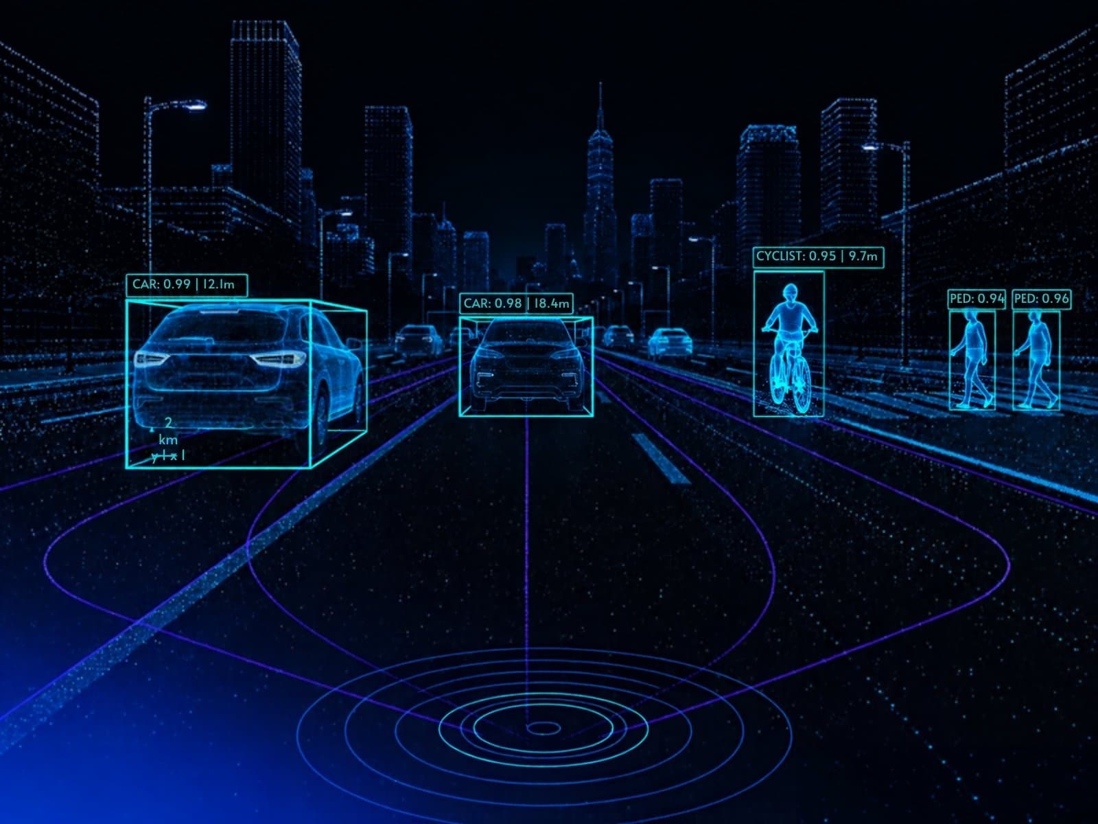
Perception models for autonomous driving and smart mobility are only as safe as their labels. We annotate LiDAR point clouds and synchronized camera frames with 3D cuboids, tracking IDs and classes — reviewed in multiple passes, because a missed pedestrian is not an acceptable error.
The hard part
Why mobility data is hard to label.
Where generic annotation vendors usually lose accuracy — and where a senior team makes the difference.
- Manipulating perspective across XY, XZ and YZ planes in 3D point clouds.
- Sparse, noisy points and occlusions for distant or partially hidden objects.
- Keeping cuboids, classes and IDs consistent across frames and sensors.
- Night, rain, fog and glare in the camera stream of a fused dataset.
Use cases
What we annotate for mobility.
3D object detection
Cuboids with centre, dimensions and yaw for vehicles, pedestrians, cyclists and road infrastructure.
Tracking & behaviour prediction
Consistent IDs across frames to support collision avoidance and path planning.
Camera–LiDAR fusion
Synchronized 2D and 3D labels aligned across calibrated sensors.
Traffic management
Vehicle detection and anomaly detection (wrong-way, stalled vehicles) from street cameras.
Parking & tolling
Occupancy detection, vehicle re-identification and licence-plate crops for OCR training.
HD mapping
Lane, drivable area and road-element labeling for localization and route planning.
Annotation types
- 3D cuboids (X, Y, Z, size, yaw)
- Point cloud segmentation
- 2D boxes and tracking IDs
- Lane and drivable-area polylines
How we work
Taxonomy and edge-case guidelines agreed with your team before production, multi-pass QA with inter-annotator agreement, and a 98%+ QA pass rate. All data processed in the EU.
FAQ
Mobility questions, answered.
Which 3D annotation format do you use?
Cuboids defined by centre coordinates, dimensions and yaw — the ground-truth convention used by public AV datasets such as KITTI, nuScenes and Waymo Open — exported in your pipeline's format.
Do you prepare point clouds before annotation?
Yes. We can handle sensor synchronization checks, coordinate normalization, noise and outlier removal and area-of-interest filtering as part of data preprocessing.
How do you ensure 3D label quality?
Multi-pass review with synchronized RGB overlays, consistency checks across frames and a QA pass rate of 98%+ before delivery.
Further reading
From the BoBox blog.
From LiDAR to Labeling: 3D Point Cloud Annotation for Autonomous Vehicles
A practical guide to 3D point cloud annotation workflows, cuboid labeling, and quality standards for autonomous vehicle datasets.
Computer Vision for Vehicle Detection
Vehicle detection enables counting, tracking, and behavioral analysis. From traffic management to toll systems and drive-through operations — how CV powers smart transportation infrastructure.
Event Venues Challenges: How to Improve Operational Efficiency?
Sports arenas, stadiums, and concert halls face operational challenges from at-home entertainment competition. How computer vision helps venues improve efficiency and visitor experience.
Have mobility data that needs senior eyes?
Tell us about your dataset, model and timeline. A senior team member will reply.